
These were the first hills I ever played in. Back then, the paths were grassy and tourists did not know about it. These days, the paths are well used and in places quite eroded. There are smart car parks, accessible tracks and plenty of sign posts.
I have used these hills for trail running, photography and picnics. The place is magical. People know about it now but I still don’t see many out there, especially at sunset or sunrise.
There are many different routes to take around here. Here is a great one to start off. Once you are there, you can use this as a guide and deviate along any path that takes your fancy.
This walk starts and finishes at the Knolls car park.
Devil’s Chair and Manstone rock Circular: 5km
I choose to do this route counter clockwise, starting on the accessible path and then ascending to the ridge line as I like the way the views open up on the descent going this way. Both directions would be fine.
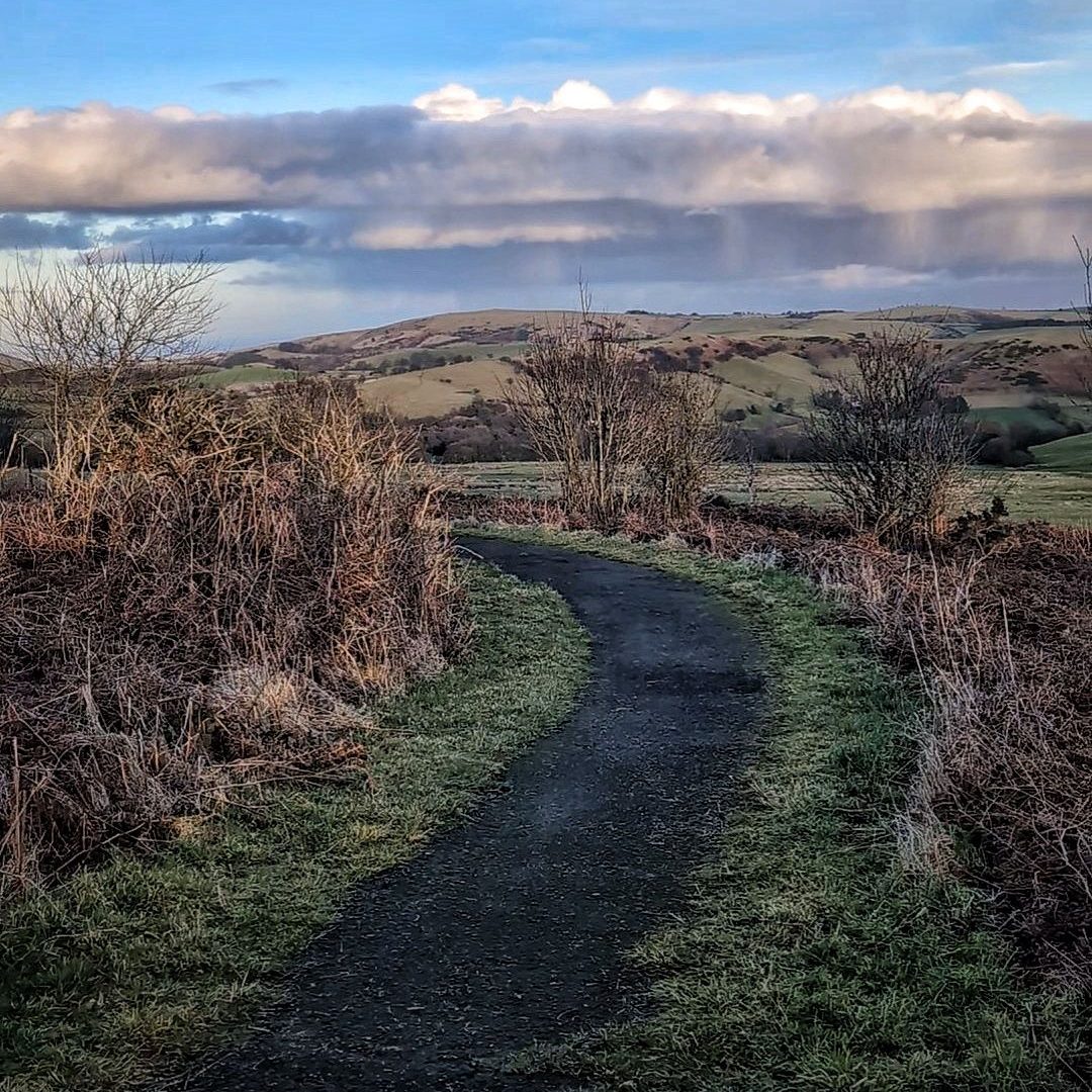
The first section of path is well maintained, and accessible. Leaving the car park via a gate, the paved path takes you along the side of the hill to a second gate and a further stretch of paved path. Soon, the path becomes rocky and begins to descend toward a small woodland.
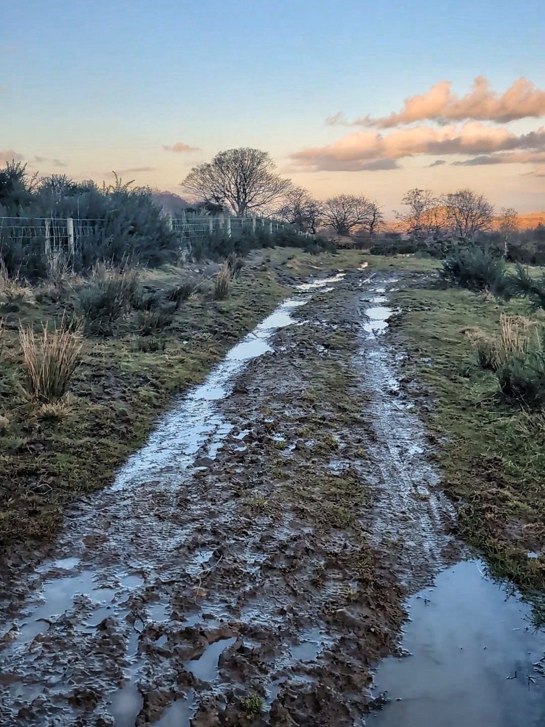
Here there is a third gate (or if you like you can cross the cattle gird). This takes you down a much rockier track through the woods, to the final gate of this stretch. The path beyond is rutted and often wet and muddy. Jumping over a tiny river you come to a grassy hill stretching up on your left. Head up this hill, go through two further gates and you meet the track that will take you onto the ridge.
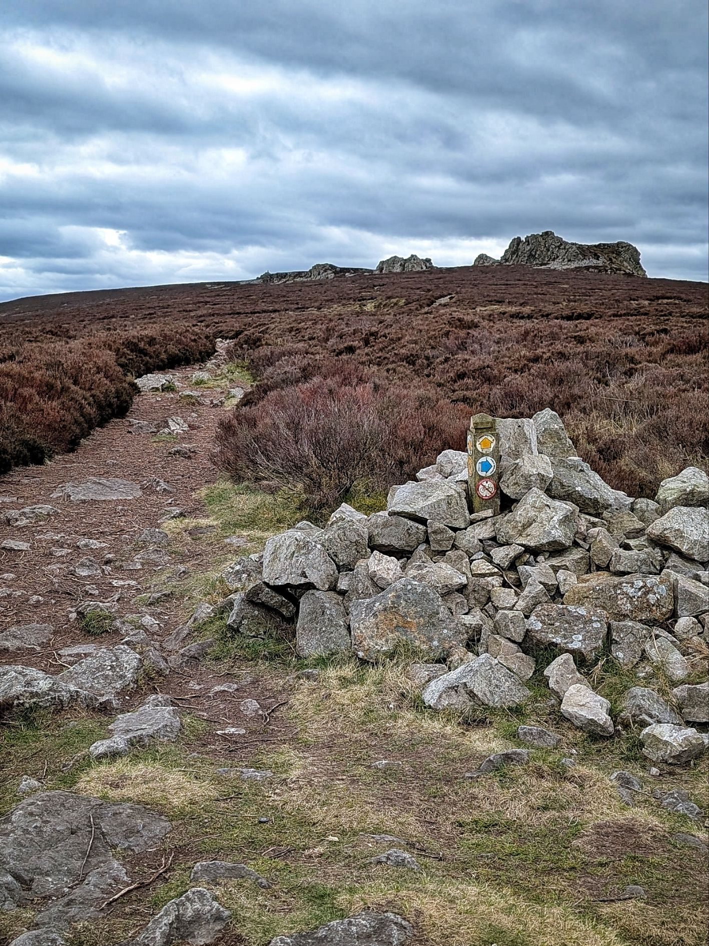
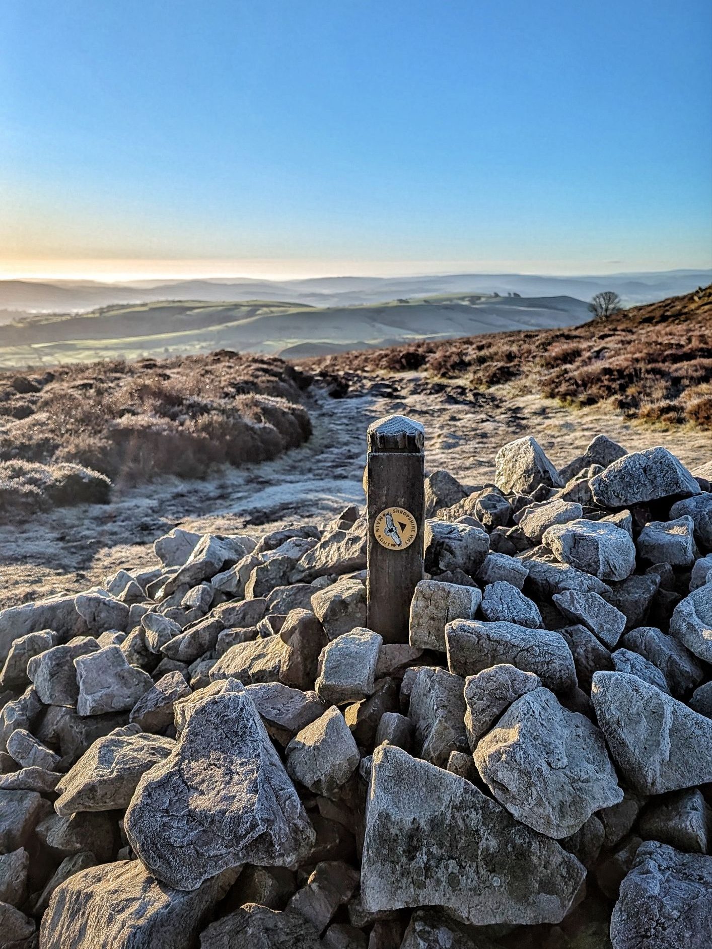
Reaching a cairn, turn left. This much rockier path will take you along next to the stones themselves.
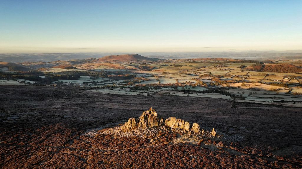
You will see the distinctive shape of The Devil’s Chair and beyond it Manstone Rock with its trig point. Both rocks can be climbed, with different routes to the top. Some care is needed and the rocks can be slippery when wet or icy.
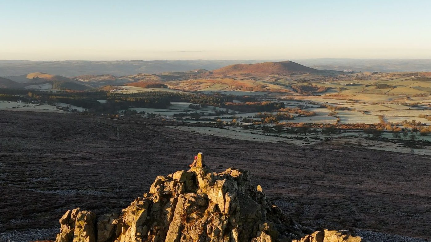
There are many sheltered spots to stop for a picnic. The wind direction changes from day to day but there should always be a side of the rock where you can be safe from it.
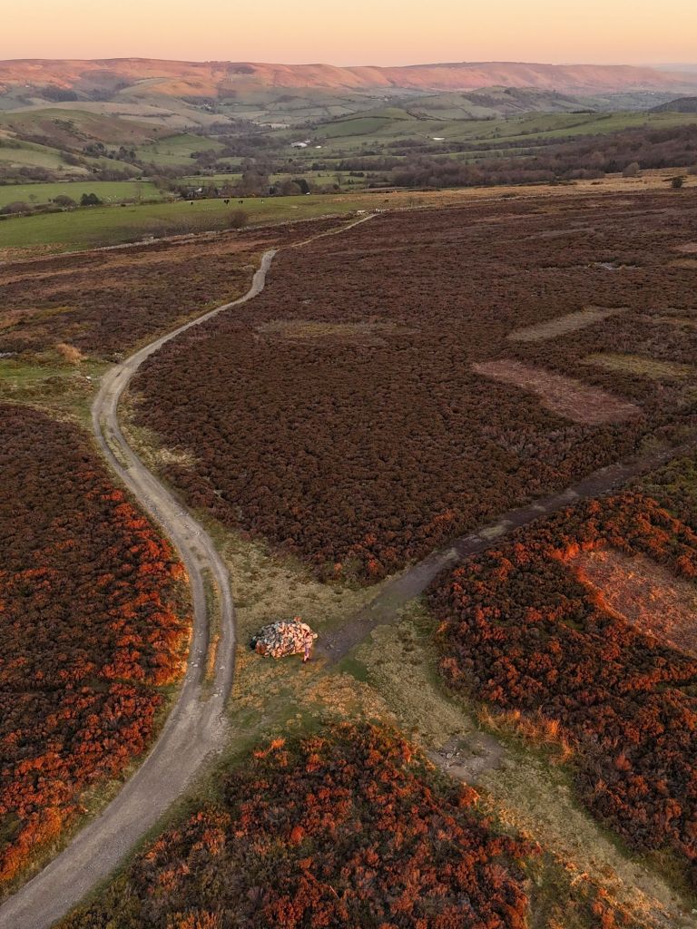
Keep following the ridge until you get to another cairn with an obvious path leading down to your left. Take this path and you will be brought down to the carpark again with lovely views across the valley to the Long Mynd the whole way down.
I have an OS maps route of this here.
Summary
There are many little and long loops that you can do starting from this car park. Several stretches of the ridge are eroded and rocky and require care. It would be easy to twist an ankle. There is a section of the path which is accessible however, that is an out and back route. For those who want to loop with a pub, there are a few options too. Here is one that I like that will take you to the Stiperstones Inn.
Discover more from The Little Hiker's Guide
Subscribe to get the latest posts sent to your email.
